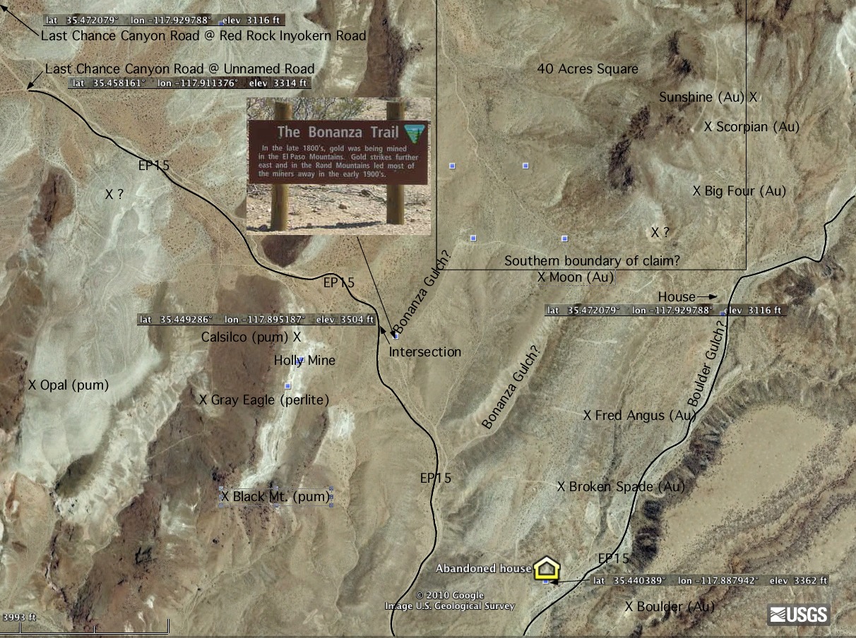
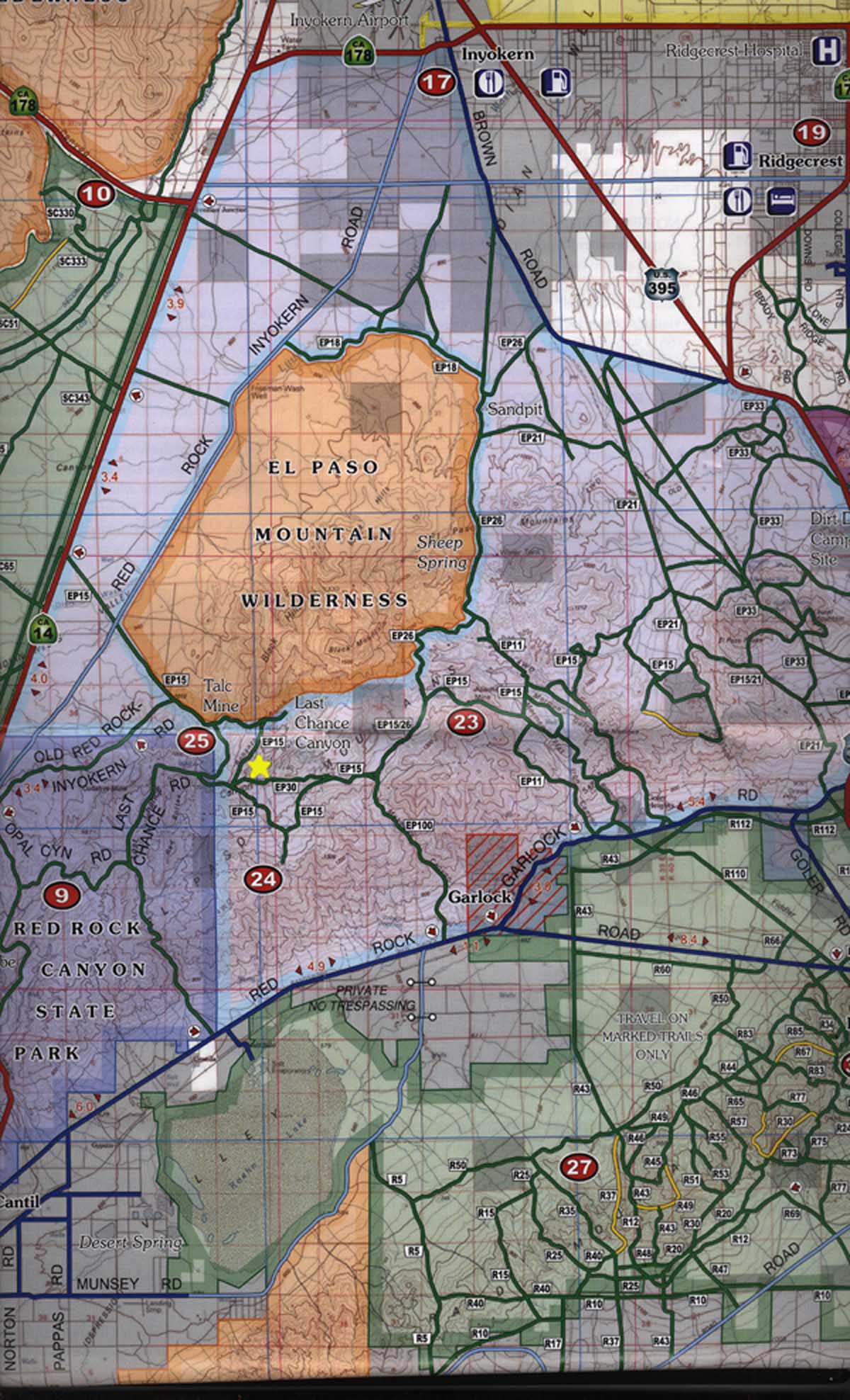
I scaled and overlaid a 1982 California Bureau of Mines and Geology map to locate the names of early mines.
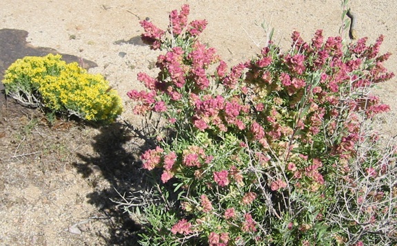
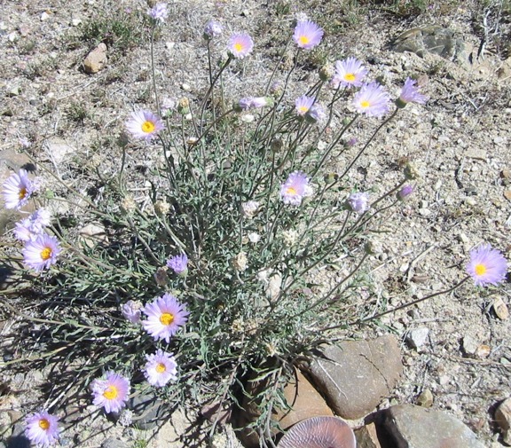
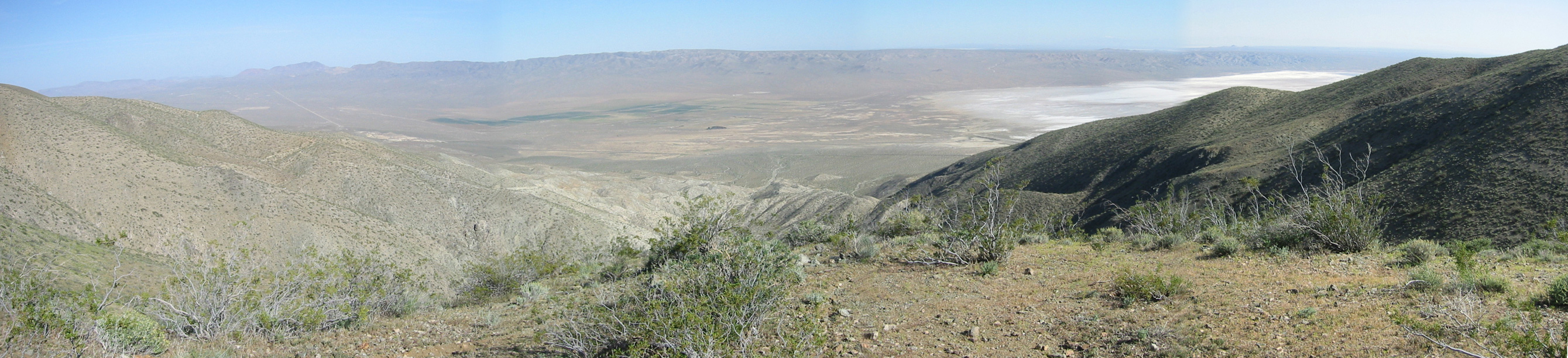
Flowers on the way in from EP 15 along the Bonanza Gulch (top one - barely passable with a minivan).
History
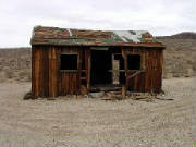
EL PASO MOUNTAINSBonanza Gulch Post office looking north east; before
John Goller was one of the survivors of that ill-fated party of immigrants who tried to cross Death Valley in 1849. Goller and a partner came upon gold nuggets on their struggle across the desert to safety. After reaching Los Angeles and establishing a wagon shop, Goller periodically returned to the desert to search for his lost "mine." In 1893 when placer gold was discovered in the normally dry washes which drain the El Paso Mountains, not surprisingly the miners named one of them Goler Gulch after the famous long-lost "mine" of John Goller.
The first mining conducted in the El Paso Mountain took place on Laurel Mountain, just east of the El Paso Peaks. A mining camp named El Paso City was established near the mines, probably at El Paso Well, now known as Willow Spring Well. Lode gold, silver and copper ore was discovered here in the spring of 1863. A shipment of gold ore was made to San Francisco in April, 1863. Mining activity dwindled rapidly after August, 1864 when Mr. Yarborough, superintendent of the Yarborough Gold and Silver Mining Company, was murdered at Mesquite Springs, located south of the range. The Yarborough Gold and Silver Mining Company was developing the Manzanillo and Ophir claims located on Laurel Mountain.
During the winter of 1893-1894 placer gold was discovered in Goler Gulch, in the El Paso Mountains. Eventually nearly 3,000 acres was worked by dry washers. Within two years more than a half-million dollars worth of gold nuggets and dust were recovered. Several large nuggets, up to 57 ounces, were taken out. After the discovery of this district placer gold was discovered in Last Chance and Red Rock Canyons, in the El Paso Mountains, and in the Summit District just to the southeast. Placer gold mining in the El Paso Mountains continues today.
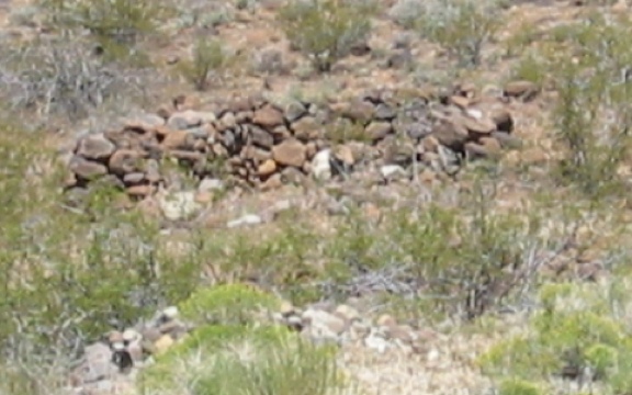
and after, and rock wall remains of a miner's cabin opposite the post office.
The Antelope Valley Treasure Hunting Society claim covers most everything in this view looking north up to a third of the way up the hill on the right and half way up the hill on the left. I found and resurrected some El Paso Mountain Wilderness signs I found while walking the foothills of the mountain on the right. I found a claim marker in a saddle at the top of the hill on the left. Below it I found the remains of a claim marker for the Sunshine Placer Claim with work evidence notes in a tobacco tin and a jar dating from 1972 to 1981. This marker is near the saddle of the mountain about where the "u" is in "Sunshine" on the map above (second image).
Unsupported horizontal tunnels are evident in the hillsides on the left. Unlined deep vertical shafts are evident in the valley bottom near the upper right of this photo. They are too dark to see beyond 60 feet. In both cases, it appears the prospectors were digging through ancient pyrocastic flows of pumice. The pumice is brown along the hills with rounded (river) rocks and orange with small black rocks (shattered basalt?) in the vertical shafts. At a recent horizontal dig, I found round rocks embedded in the hard clay, which is more encouraging to me, but inconsistent with the 1900-1918 digs.
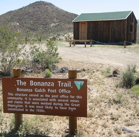
Post office looking south.
After leaving the Antelope Valley Treasure Hunting Society area, I saw two trucks, and investigated. One man was returning with a metal detector in hand. When I remarked that it looked like the entire area was covered with an ancient river, lake or sea bed with rounded rocks, one of the group who drove a red pickup pointed to the holes in the hillsides on both sides of the valley, and said the original prospectors followed horizontal seams into the hills. When I described the vertical shafts, another of the group said they were digging to the bed rock where they tunneled horizontally to get the gold there. Multiple shafts indicated success. They said there were so many overlapping claims that the area was a jurisdiction mess. One group was stealing water from a well of one of the other claims. That claim owner disabled his own well to discourage the theft.
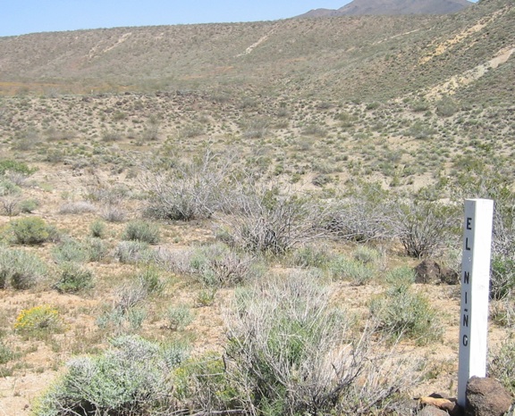
El Ńino mining camp.
Two other El Ńino claim posts disappear into the distance. The red pick-up drive drove to this place.
On the way to Schmidt's Tunnel, I stopped at the Last Chance Canyon Bickel Camp historical site. There I met Mark Aslin, who told me some of Walt Bickel's history. He is convinced that an ancient glacier deposited the gold in the area, and subsequent crustal compression caused the foot-thick seam and overburden to distort in elevation. Impressed by Mark, I bought a Friends of Last Chance Canyon single prospecting membership on 28 August 2010.
Judging from this Bureau of Land Management (BLM) map, the entire Rocky Road claim is within the El Paso Mountain Wilderness north of EP 15, but the El Paso Mountain Wilderness signs I saw are inconsistent with this BLM map.
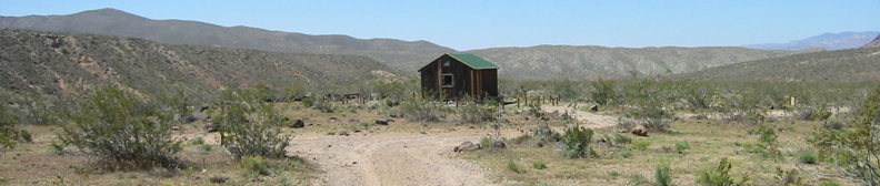
Schmidt's cabin looking north (select for large image).
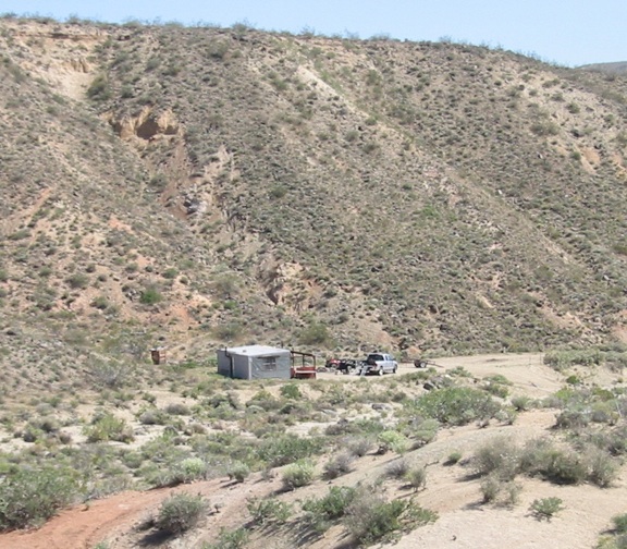
East of Schmidt's cabin looking southeast (select for large image).
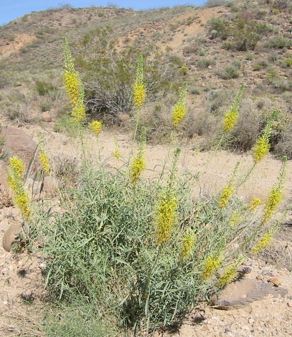
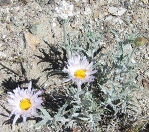
More flowers on the way out EP 100 (Mesquite Canyon).