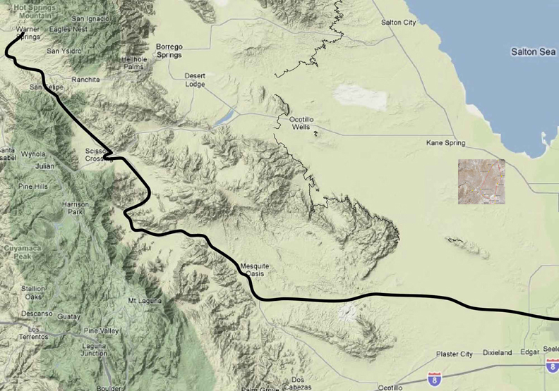
On way to feature north of Highway 78, 2/8/10:
Feb 8, 2010 10:26:28
AM 33.1256086 115.9002149
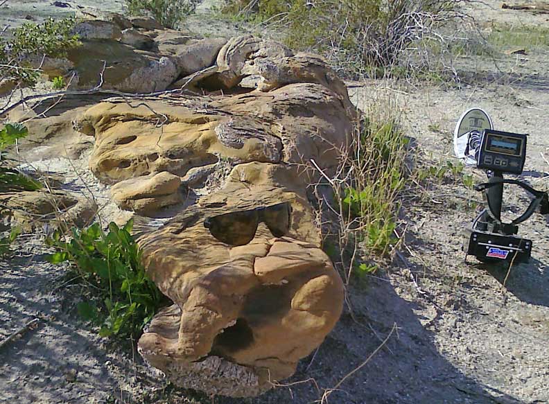
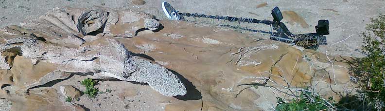
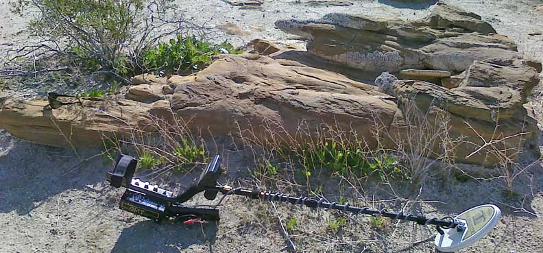
Strange sandstone shapes:

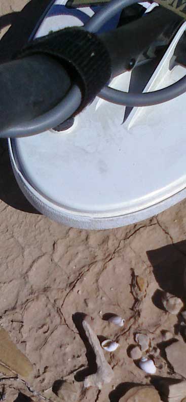
Small shells:
Saw a redish brown and black truantuala, but it went into its borrow before I had a chance to photograph it.
Feb 8, 2010 11:35:16 AM 33.1339663 115.9002203
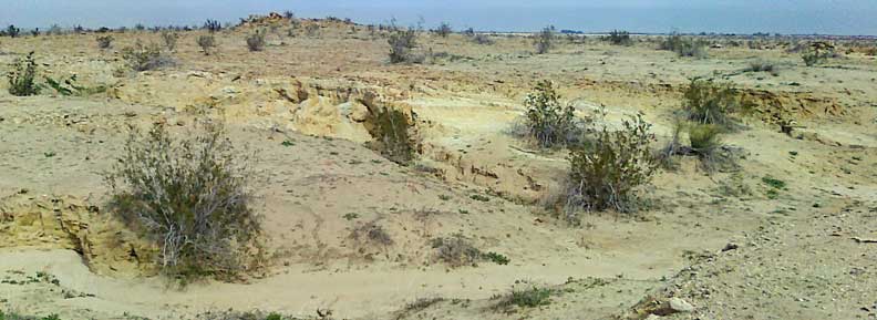
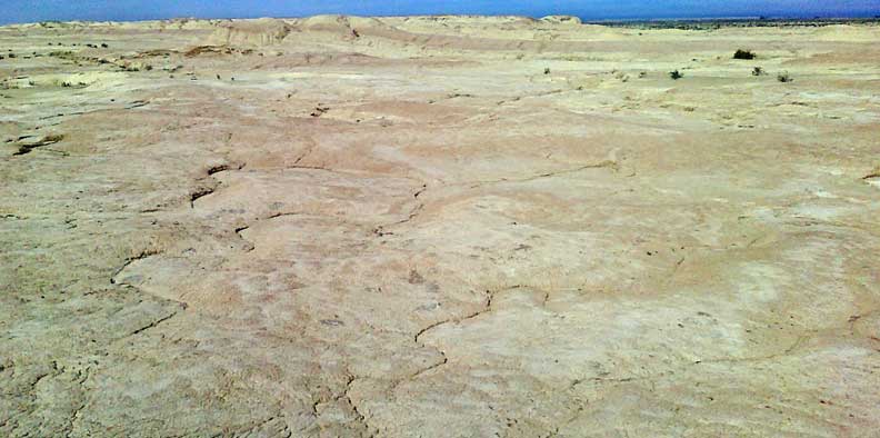
Mound was not:
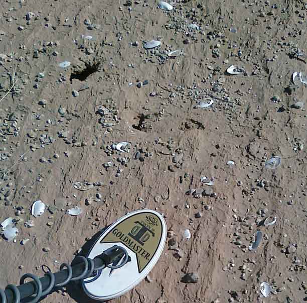
Large shells on north edge:
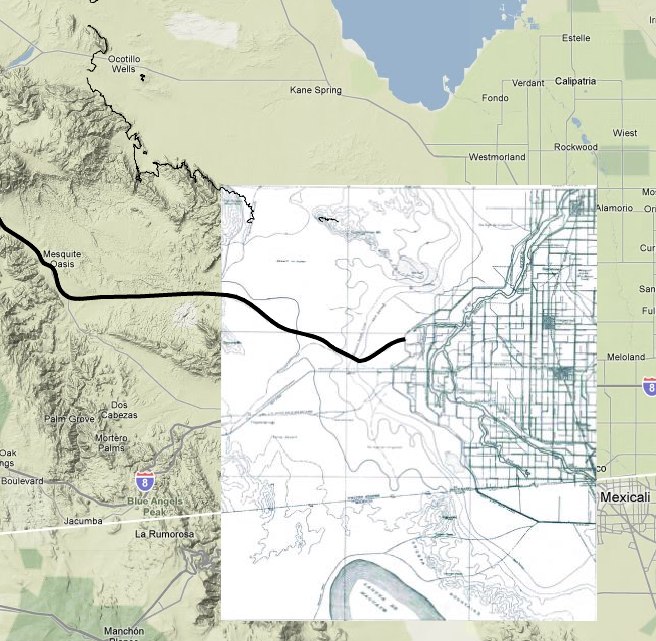
Feb 8, 2010 1:23:10 PM 33.1071711 115.8306599
Three mounds of no interest:
Feb 8, 2010 5:02:52 PM 33.0857241 115.7753044
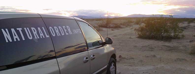
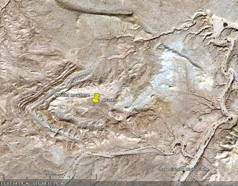
Lodging before hike to "crater":
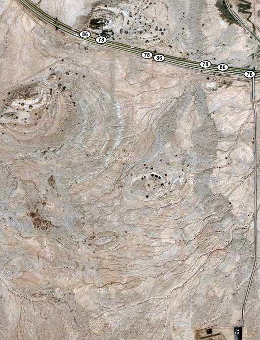
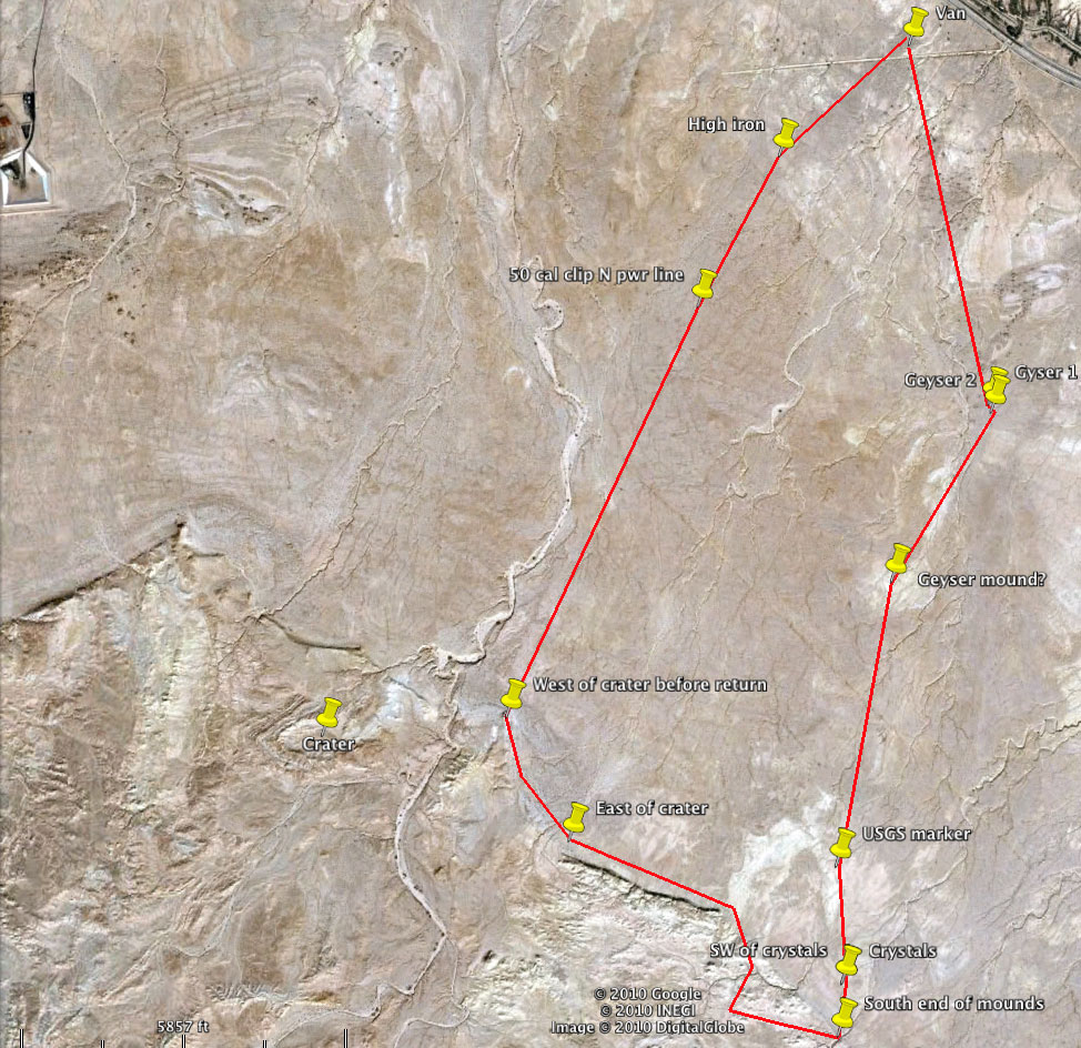
On way to "crater" 2/9/10:
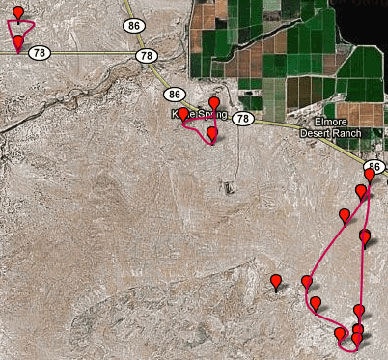
Plate boundary (thin red straight line) goes along bottom and right side of Salton Sea. A fault is shown in blue.
Thick line is likely route. Thin line is 400-foot
elevation.
Route refined with 1908 topographic map.
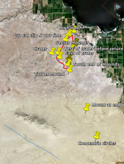
The red line is the straight-line eight-mile Path from van
at 10:21 AM to geyser 1
to geyser 2 to geyser knoll to USGS marker to
crystals to south end of mounds to lower third of mounds along ridge to
east of crater to knob west of crater to north of power line where one
50 cal. clip was found to a high iron area near the hot rock
to the van at 3:10 PM took about 5 hours. Given all the wandering and
diversions around deep washes, it
was more like 9 or 10 miles for an average of 2 miles per hour.
Click on the image to see a larger one.
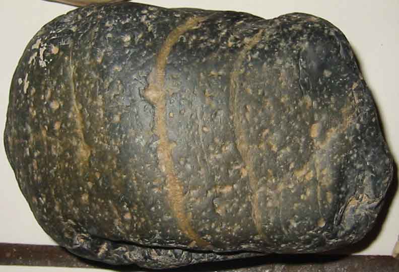
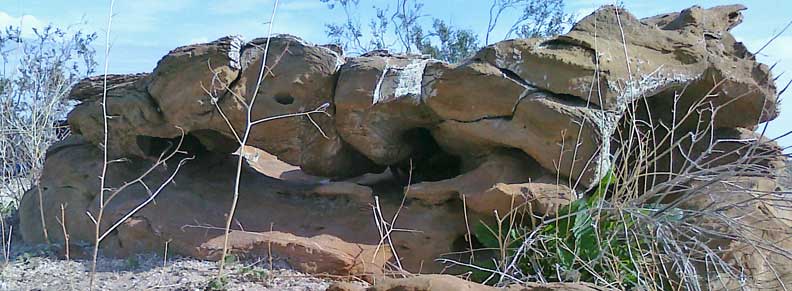
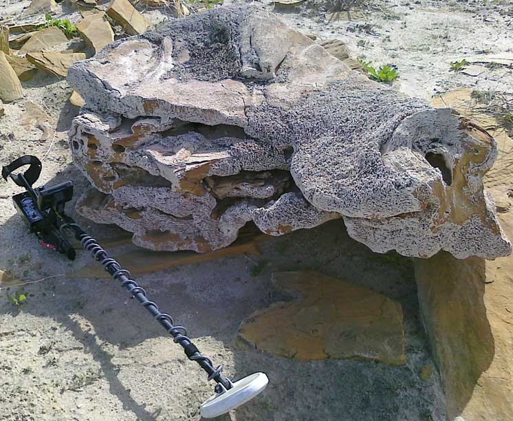
More strange sandstone shapes. How they became
stacked is curious.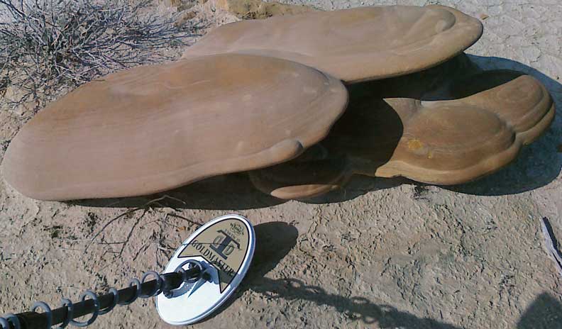
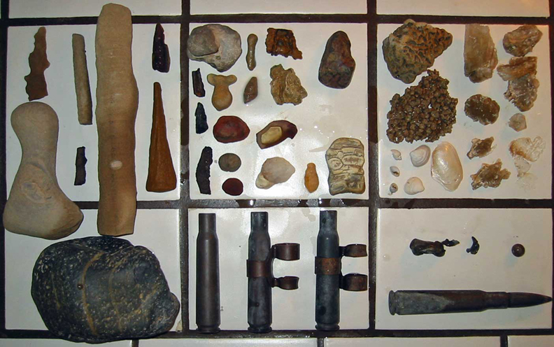
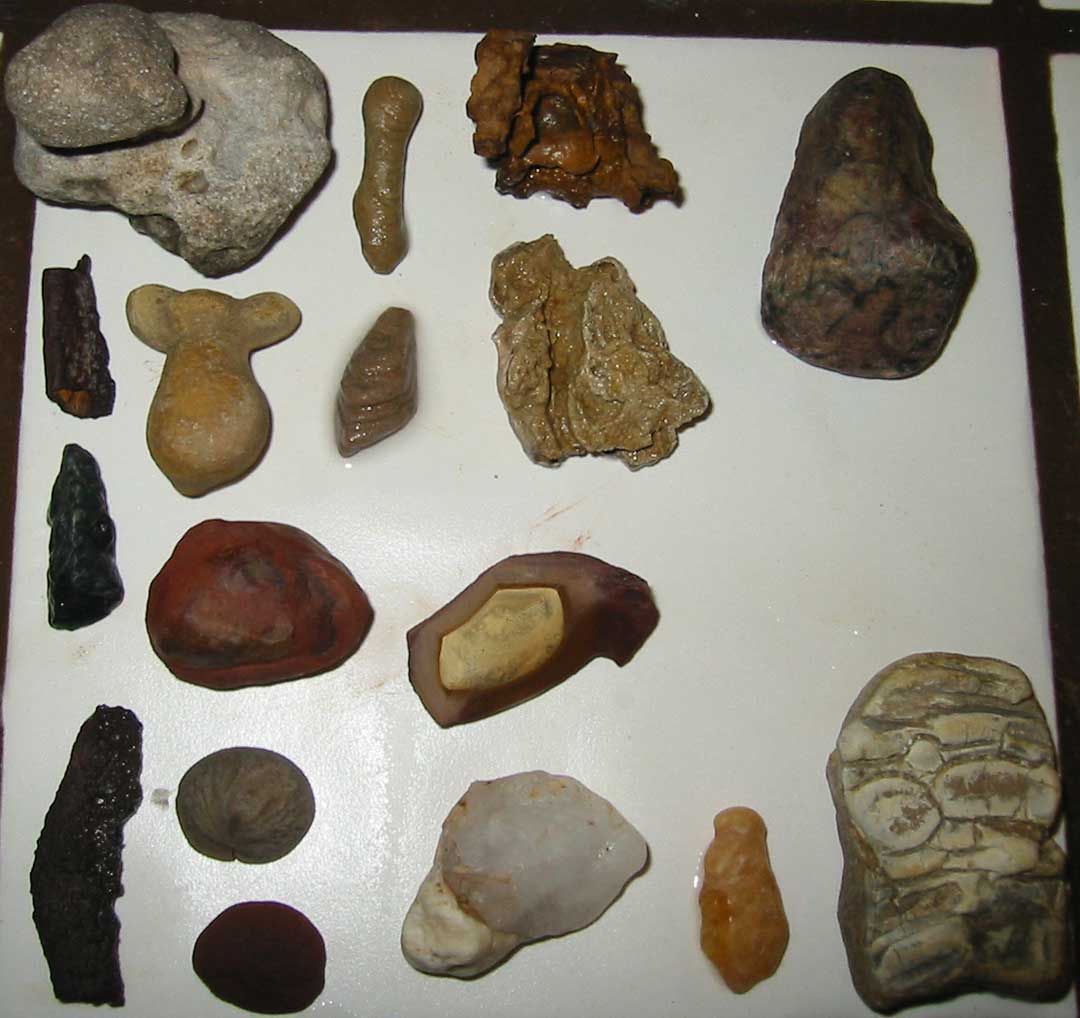
All finds:
Feb 9, 2010 10:21:08
AM 33.0676460 115.7770532
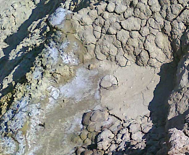
Looking at top of spring or mud geyser on side:
Geyser bottom:
Geyser north side:
Variety of sandstone, geyser pieces and rock:
Feb 9, 2010 10:26:16
AM 33.0670881 115.7768869
Geyser 2 top:
View north past Geyser mound to Salton Sea:
Feb 9, 2010 11:29:32
AM 33.0451101 115.7789683
Geodesic marker:
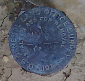
Destination:
Feb 9, 2010 2010
11:48:21 AM 33.0393165 115.7792580
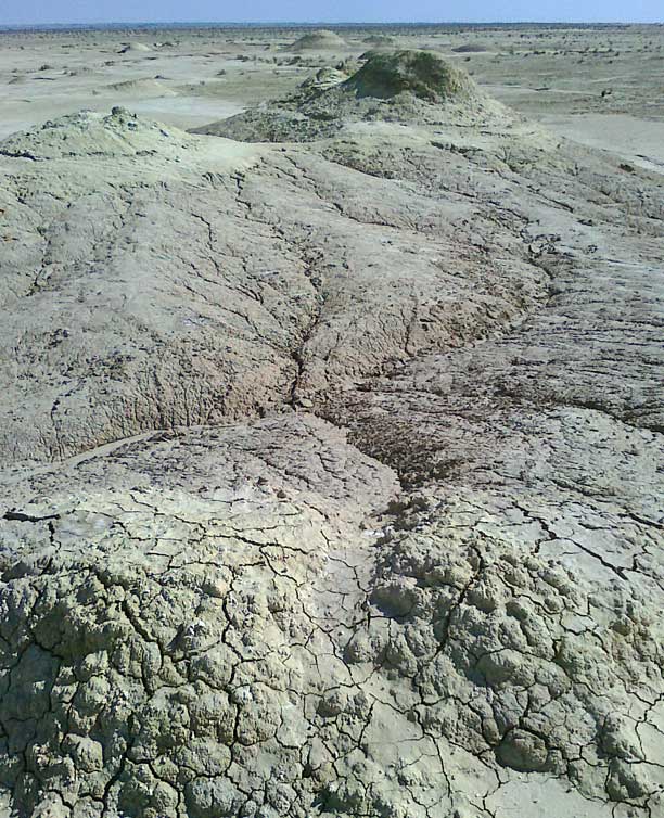
Layered crystals ("stromatolites" and shells were
found elsewhere) have no taste: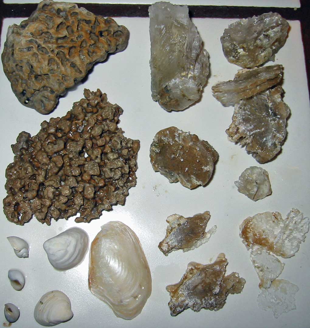
Feb 9, 2010 2010
12:02:25 PM 33.0367523 115.7797837
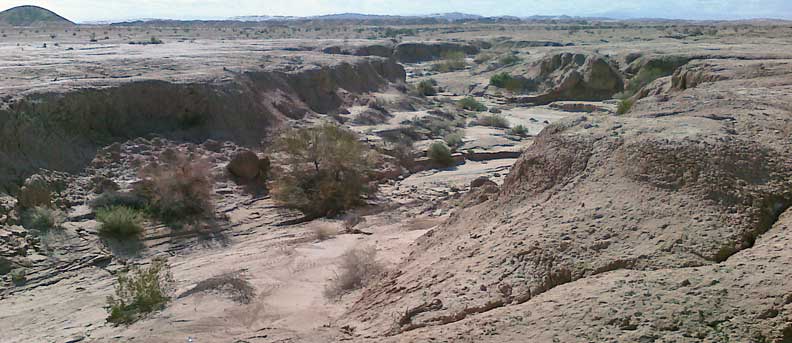
Southeast of mounds:
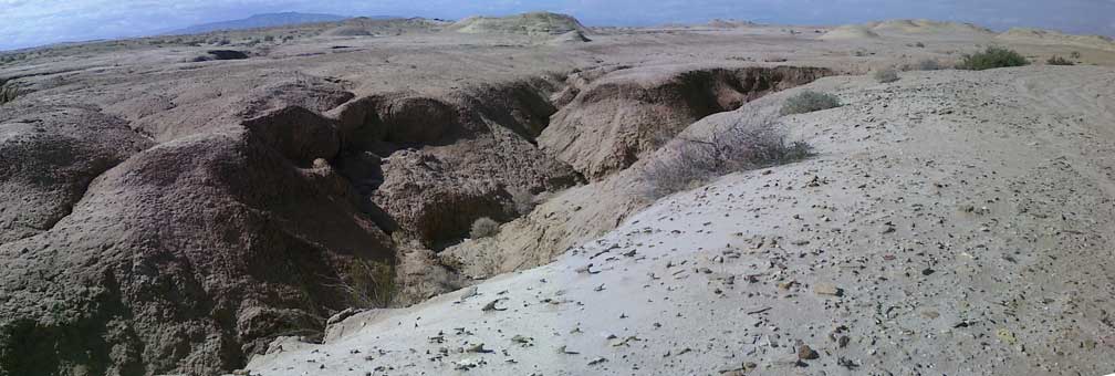
View east to other mounds:
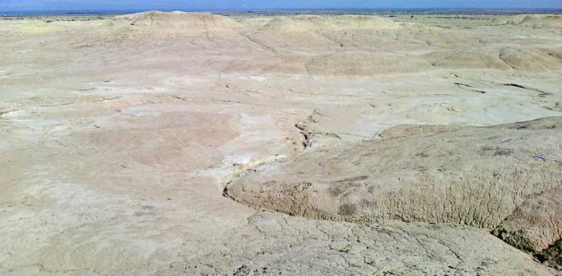
View northwest from seeping mound:
Panorama from top of hill on west most leg of trip:

Feb 9, 2010 2:39:57
PM 33.0737239 115.7841825
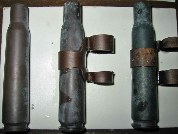
50
CAL clip found way north of powerlines way north of restricted Naval
area. Designations on cartridges: SL4 (2), SL42 and
LC43.
Feb 9, 2010 3:09:18
PM 33.9730000 118.2490000
Distorted self-portrate:

Feb 9, 2010 2010
3:10:15 PM 33.0810356 115.7784426
Hot rock found before high iron area: