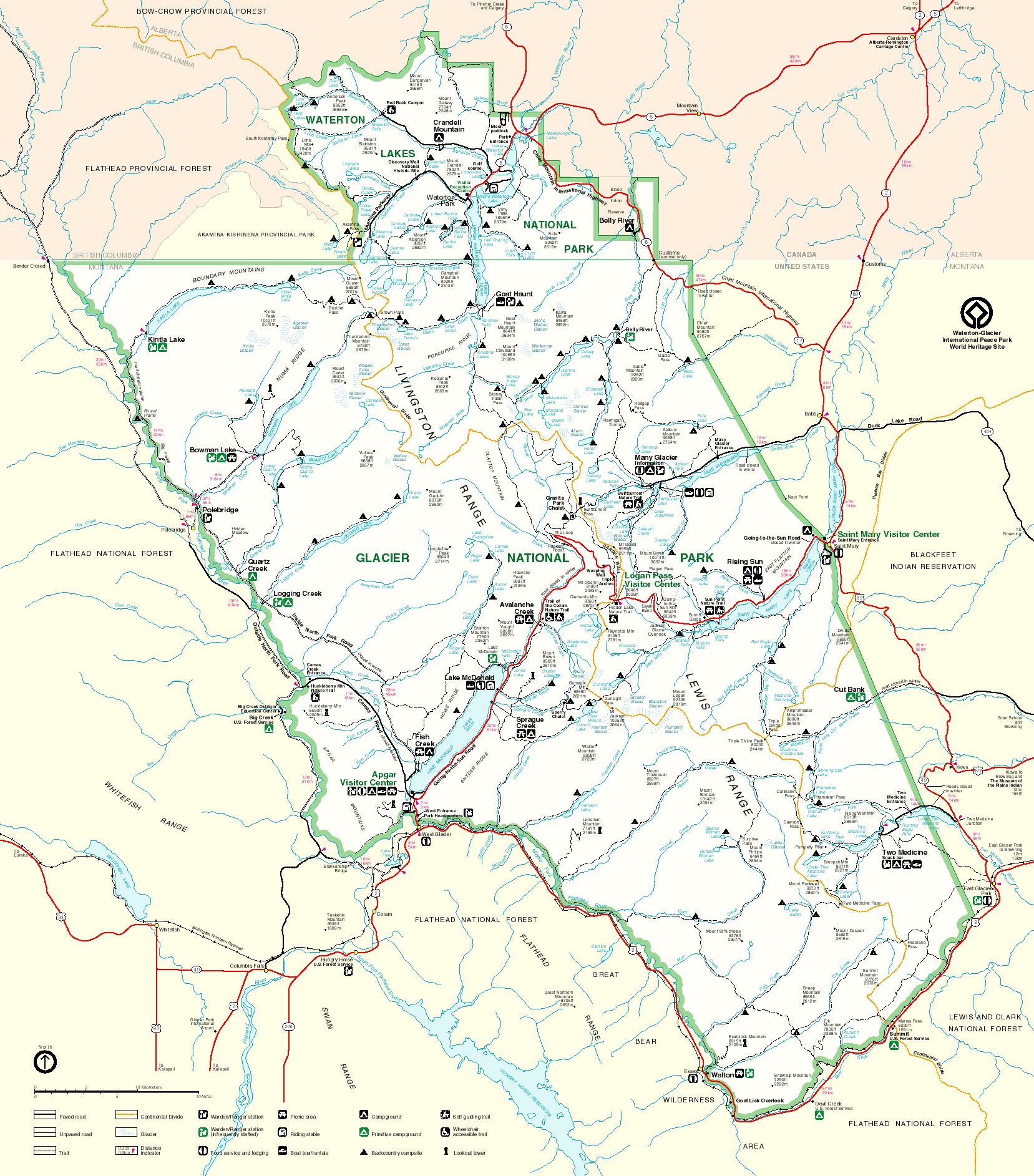
Hiking and Biking - Glacier National Park
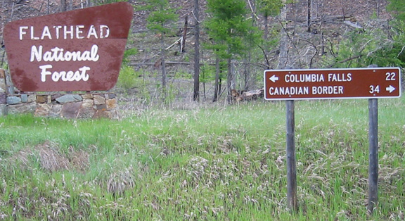
After doing some shopping in the towns north of Coeur d'Alene, ID, where I bought a 50' extension cord in the event my inverter was incapable of running my MacMini and monitor, I drove 90 to 135 to 28 to Flathead Lake 5/26/10.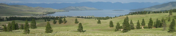
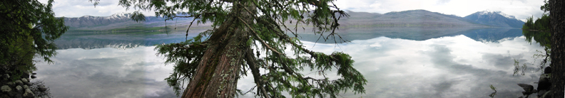
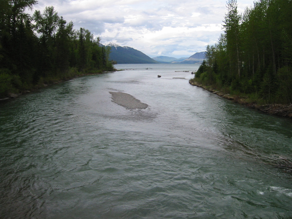
Here is a botched panorama of the northwest end of Flathead Lake.
I took Highway 2 to the West Glacier Park Entrance, where I found a hot outlet and a clean bathroom at a gas station that was "Closed for the Season." I ran the extension chord to the van, and worked on my computer while the noise from the bar across the street subsided. Then I slept.
The next morning on 5/27/10 I entered the park before a human occupied the check-in shack. I dutifully paid my $25. A mile later there was a sign saying the road through the park was closed 14 miles ahead.
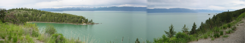
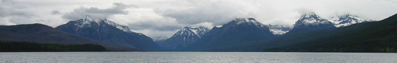
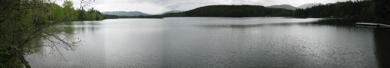
At Apgar Visitor Center, I took this panorama of McDonnald lake.
Here is the video version.
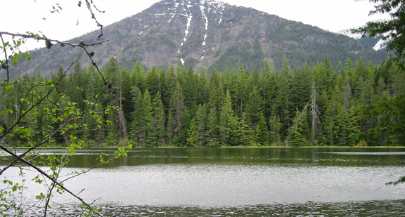
Southwest shore looking northeast during a brief respite in the wind.
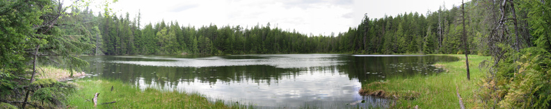
I stopped at the northwest end of McDonnald Lake for a 0.6 mile hike to Johns lake. The shore was obstruted and marshy, but I peeked through the south side,
and the west side for the botched panorama.
It was only 0.3 miles to the highway, so I continued north to intercept McDonnald Creek, and follow it back to McDonnald Lake.
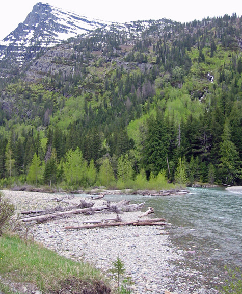
Here is my first encounter with McDonnald Creek.
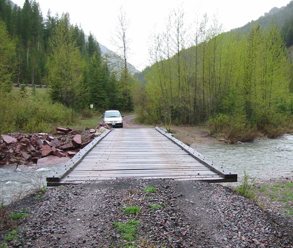
Here is my second at a foot-bridge.
Video version upstream.
Video version.
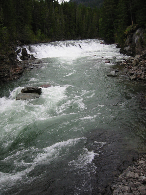
McDonnald Falls.
Video version.
Looking up the stream from the bridge at the end of the lake at McDonnel Falls.
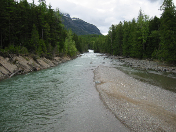
Looking downstream from the bridge to watch McDonnald Creek entering McDonnald Lake.
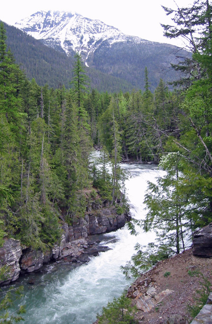
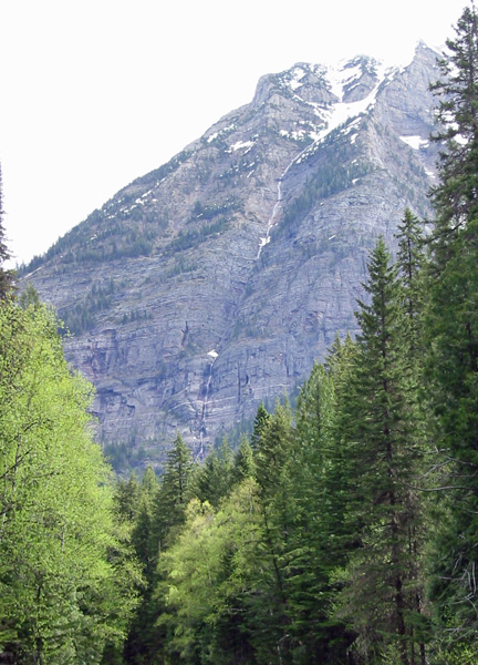
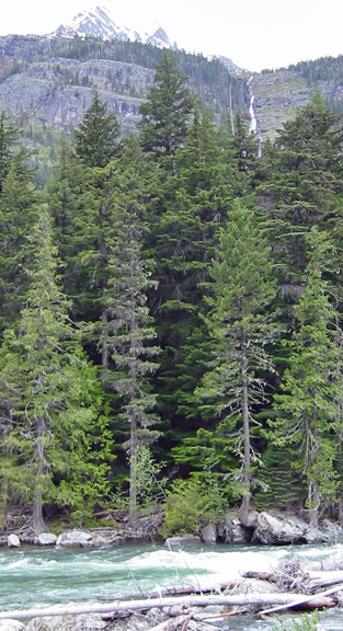
Further up the road is a small stream cascading down a cloud topped mountain.
More of McDonnald Creek upstream.
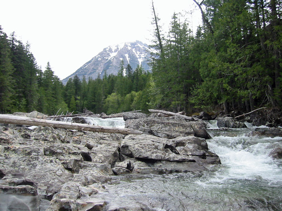
Downstream
Video version.
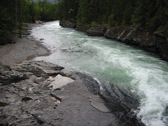
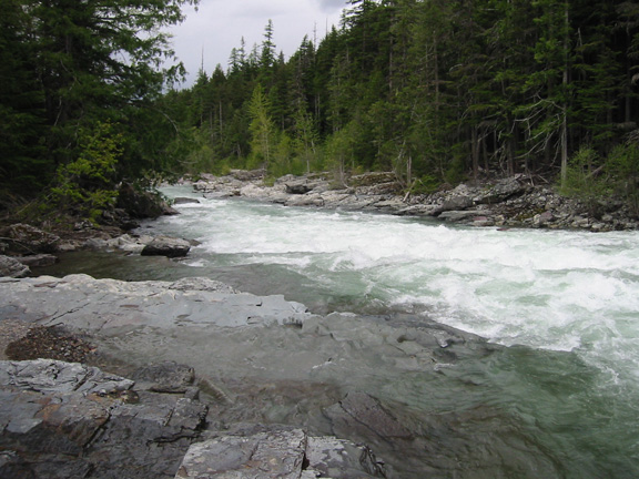
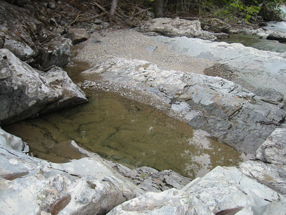
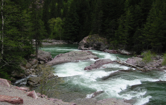
Rocks at the narrows.
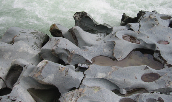
An area Darold Cummings would appreciate on the same point.
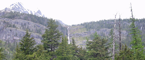
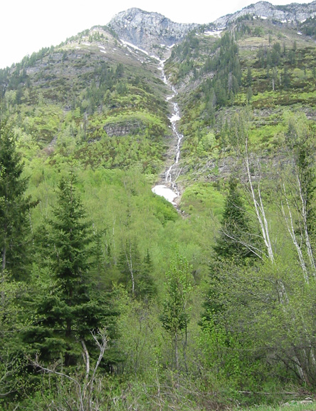
More seasonal streams cascading down the mountains north of McDonnald Creek.
The creek.
Close-up.
The road was gated at Avalanche Creek. I drove up to the gate and what I initially thought was a forestry employee in a pick-up truck. It was a young construction worker. I jokenly said I wanted a refund due to the belated notice about the road closing. As I backed to leave, he exited the truck and opened the gate for me. Thinking he was being sympathetic, I accepted the offer and drove through. Having signs on your van can get you anywhere.
Like Richard Dryfus passing dead animal carcasus in the road in Close Encounters of the Third Kind, I started passing construction equipment and men. They responded to my wave. Many miles later I encountered a manager who looked puzzeled. His wave changed to a stop.
I explained what happened, and he said I would have to turn around, because the road was impassible a little further up. I complied and shot some more photos as I returned.
Video version.
As I took this photo, two trucks of construction workers passed and stopped. I pulled-in behind them as the driver of the lead truck walked back to me, and said he saw my VoluntarySociety.org sign on my van. He wanted to know if I was part of the volunteers who plan to repair a delapidated overlook way up in the mountains. He said he was considering helping. I replied in the negative. He and the trucks left.
That's when it dawned on me why the guard let me through, he thought I was an official not just because there were signs on my van, but because "Voluntary" was among the words.
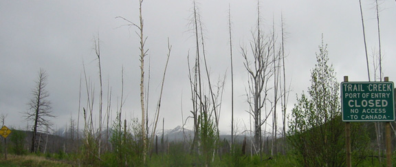
I exited the Park via Camis Road rather than Highway 2. It traverses a major burn area, and crosses the Flathead River. Looking upstream,
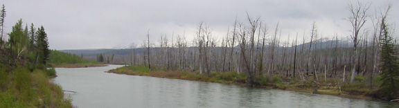
and downstream.
The road Ts into Outside North Fork Road.
You can't go right.
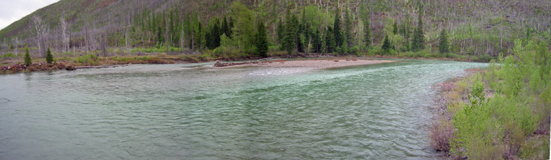
Another encounter with the Flathead river.
Video version.
More Flathead.
More Flathead.
The gravel stretch of 486 between Big Creek and the burg of Coram was 35-45 mph, and there was no Glacier Park fee collection facility, so if you want to save $25, you can enter the way I left. I drove Highway 2 around the bottom of Glacier Park.
I saw a mother moose and her youngster cross a stream, but there was nowhere to park to take a photo, so I made a U-turn and found a road below them. I thought I might catch them coming to me. I walked across the closed bridge and climmed a hill to no avail - too much cover.
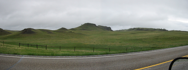
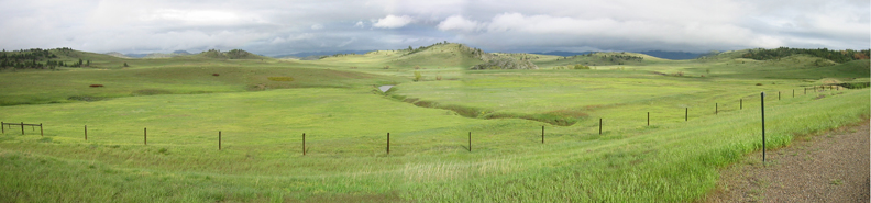
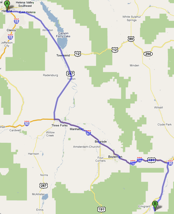
It was snowing so bad that I decided not to risk entering by way of the East Gate at St. Mary, and instead drove to Browing for gas and turned south on 89, and drove through a lot on nothing to Helena, MT (244 mi – about 4 hours 41 mins).
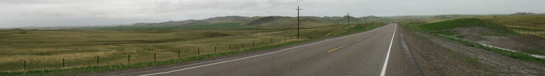
The scenerary did not improve until I took Highway 287 to Freeway 15. These panoramas show some improvement. It got better, but it was too dark to make for a good photo.
I got dinner with a coupon at a Subway in Helena, and spent the night at the Jiffy Lube next door. It had a free WiFi and a hot outlet, so I was able to get more work done.
I got breakfest at the Subway on 5/28/10, and continued on Highway 287 to Freeway 90 east to Livingston, where I got gas and headed south on Highway 89 to Chico Hot Springs.
There I enjoyed the hot pools and a shower before setting-up my computer on a table in the hotel lounge to take advantage of their WiFi until 2 AM.
I was going to sleep in their parking lot, but it was so cold, I would have to run my engine to warm the van before going to bed, so I drove to Gardiner on the border with Yellowstone Park (33.2 mi – about 40 mins).
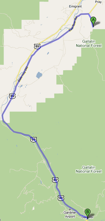
I drove through the Park Arch and nearly hit an elk that lept from the right ditch. I swerved and he swerved just missing my right front fender. I found no entry times at the gate. I returned to Gardiner and slept at the Subway there at 2:45 AM. The next morning on 5/29/10, I left for Yellowstone National Park.