Bill Holmes - Activities - Hiking and Biking - Yellowstone National Park 2
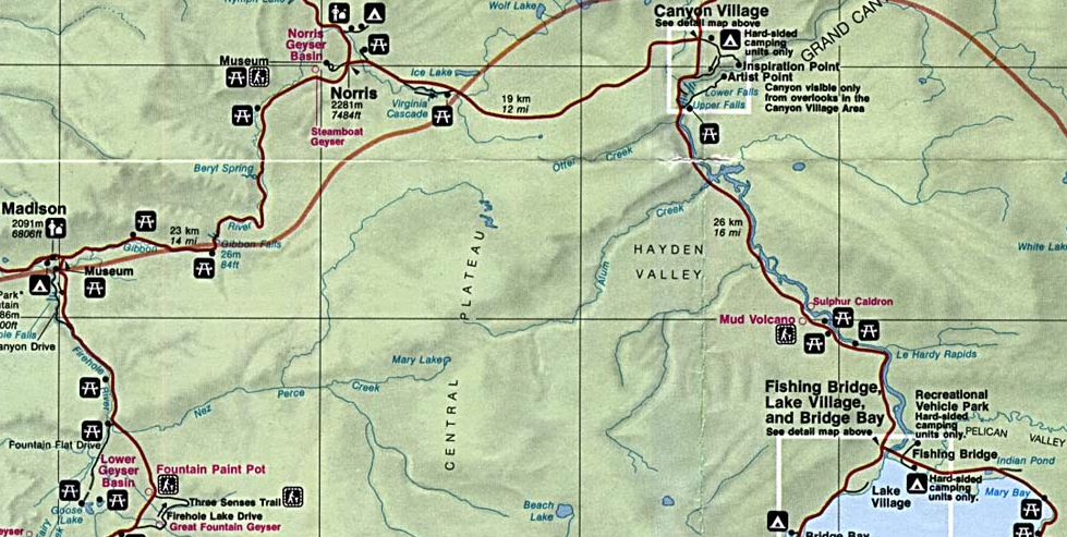
After driving and hiking Lamar Valley, Tower Falls, Wrath Falls and Undine Falls, I returned to Mammoth Hot Springs, and drove to Mammoth Hots Springs, Norris Geyser Basin (intersection of 89 and 20), Canyon Village, Fishing Bridge (51.5 mi,1 hour 19 mins).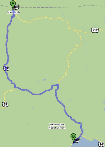 .
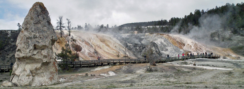
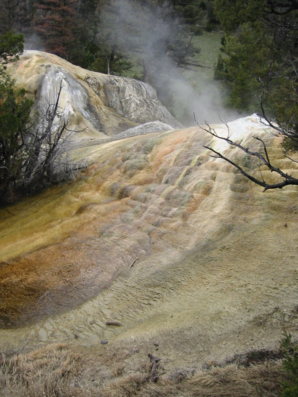
.Old geyser phallic symbol in front of Terraces.
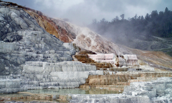
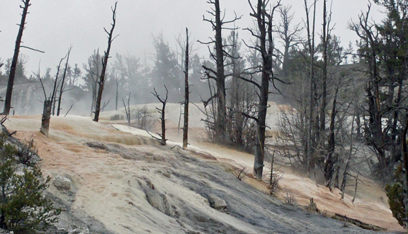
Terraces.
A bubbler on the upper loop. This is when my Canon S800 stopped taking color video, so you'll miss a lot of action.
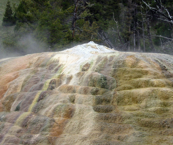
A seep on the top loop.
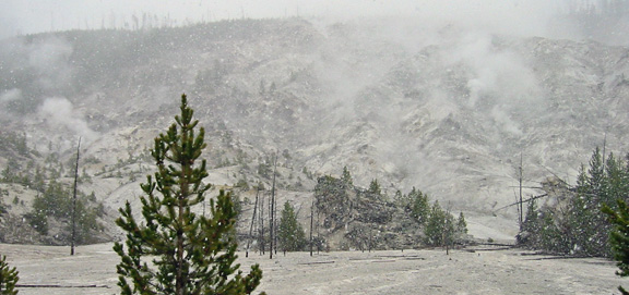
Roaring Mountain in heavy snow.
While waiting for a car to back-out at Roaring Mountain, a bison walking toward me on the road decided to take that opportunity to cross the road.
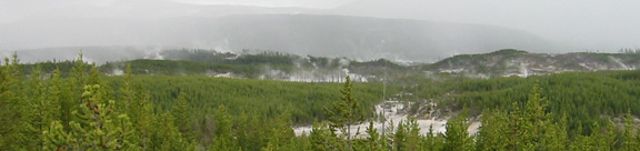
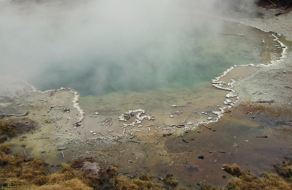
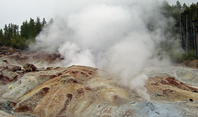
Lots of steamers in the Norris Geysesr Basin.
I then drove through Canyon Village to Fishing Bridge and the north end of Lake Yellowstone. While switching between still and video I accidently set video to monochrome.
I spent the evening working on my computer in a mini-cafeteria in the Lake Yellowstone Hotel in Lake Village, and slept in the parking lot in my mummy bag. At 8:00 AM on 5/30/10, I left for the southwestern part of the lower loop and Old Faithful.