Bill Holmes - Activities - Hiking and Biking - Bear Lake through Zion, UT to Las Vegas, NV, Redlands, Encinitas, Vista and Lancaster, CA
On 6/2/10, I drove from Garden City to Bear River (62.8 mi – about 1 hour 9 mins).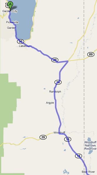
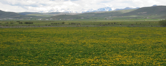
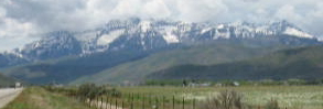
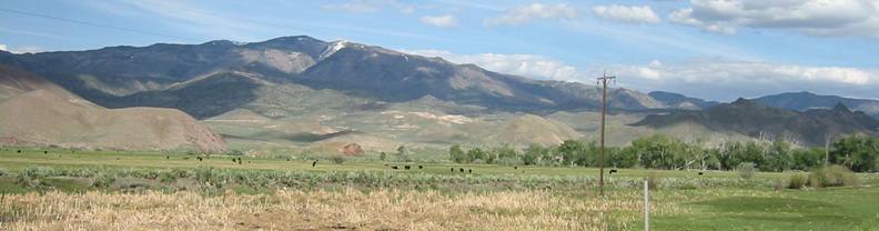
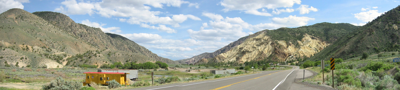
Mustard and mountains looking southwest from 16.
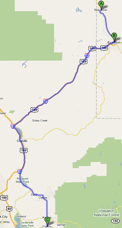
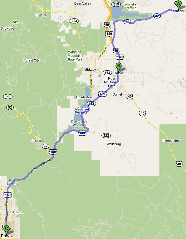
Highway 16 in Utah became 89 in Wyoming. I intended to take 150 south, but it was closed, so I took 80 southwest and south with 84, then exited on 32 south through Kamas and Fancis (I-80 W 75.3 mi, 1 hour 28 mins).
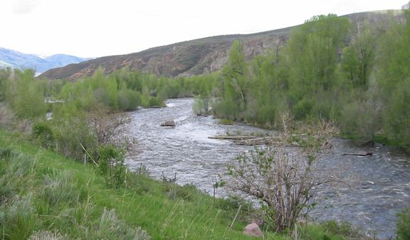
West of Francis I crossed the river to the Jordanell Reservoir. It was high with runoff.
After Francis, I drove 189 south to Heber and Provo, UT (US-89 S 57.5 mi, 1 hour 8 mins).
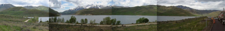
I continued on 189 south along Deer Creek Reservoir, where I encountered another a construction delay. Unfortunately, I left the camera in movie mode, and had to manually stitch together screen copies of four movies.
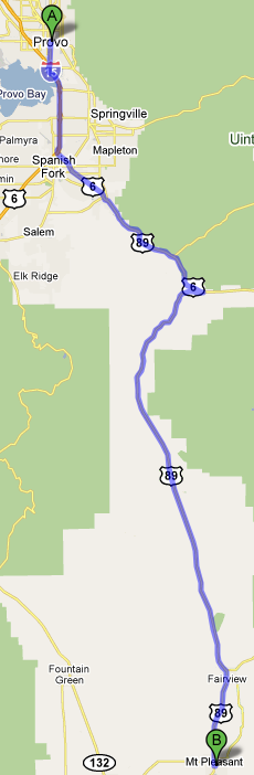
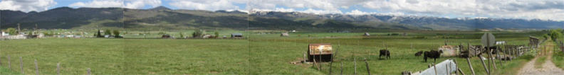
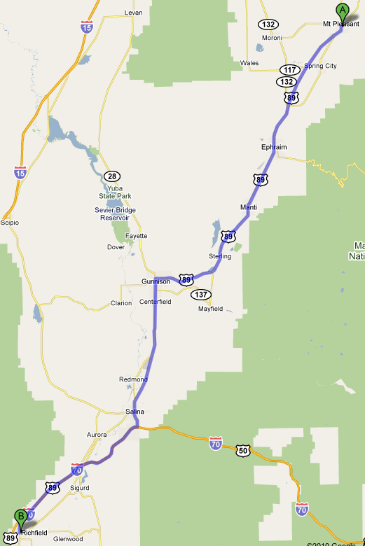
I continued south on 89 through Mt. Pleasant (US-89 S 57.5 mi,1 hour 8 mins),
Another movie clip.
Another movie clip panorama.
0.2 mi – about 1 hour 21 mins through Richfield,
I stopped to take some videos while waiting for contruction north of Piute Reservoir.
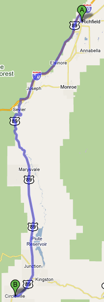
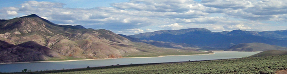
51.9 mi – about 55 mins past the Piute River and Piute Reservoir to Circleville.
Piute River is on the left side of the road.
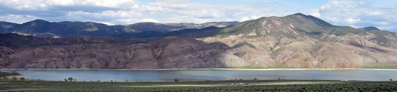
Looking west from 89 before the Piute Reservoir.
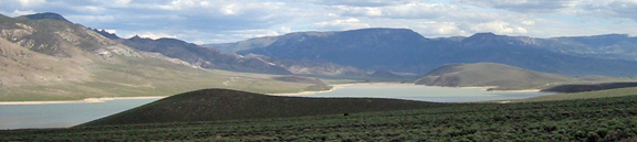
Piute Reservoir while being escorted through a construction zone.
Continuing south on 89.
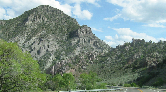
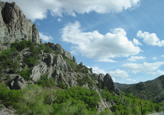
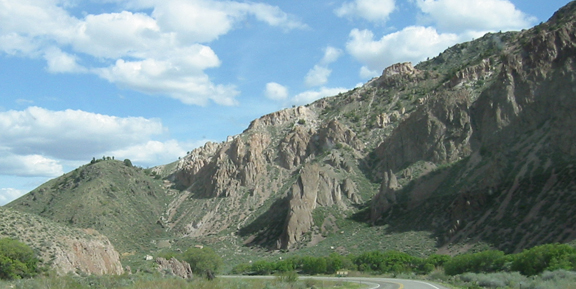
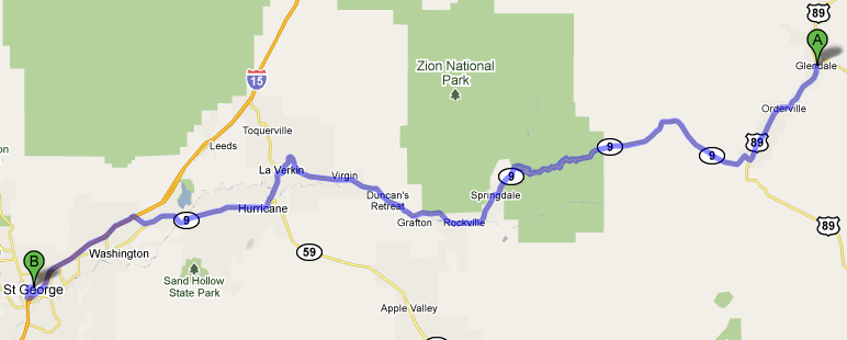
Beginning to see geology similar to that seen in Bryce National Park, which is west of 89.
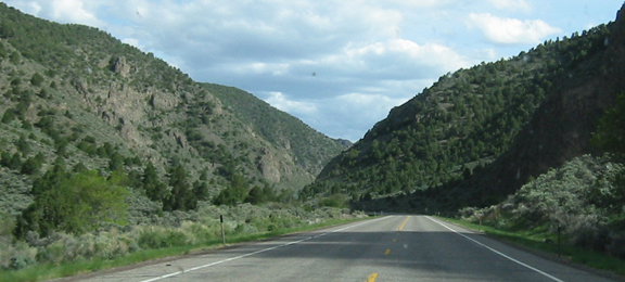
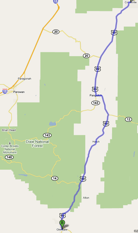
I continued south on 89 to Panguitch. I had been to Brian Head, so 143 did not appeal. At Alton I was told that 14 was likely closed, so I continued south on 89 to Glendale, UT (US-89 S 69.1 mi, 1 hour 16 mins).
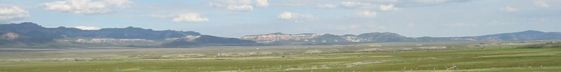
89 looking west.
I continued south to Glendale, UT (UT-9 W 76.2 mi, 1 hour 56 mins).
and turned west on 9 through Zion National Park to 15 (I UT-9 W 76.2 mi, 1 hour 56 mins).
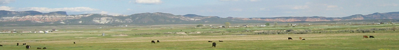
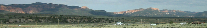
On 9 looking west.
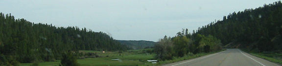
and south.
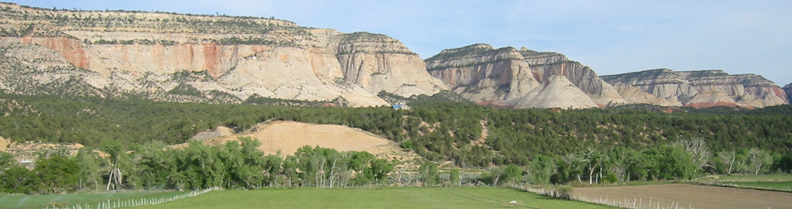
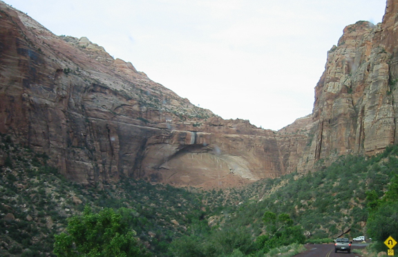
The dramatic entry to Zion with windshield bugs while driving. It was too dark to make stops worthwhile. Somewhere I have photos of a past visit to Zion with Mary Stzerpakiewicz.
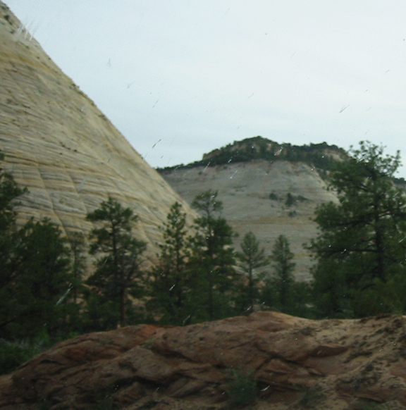
An arch in the making.
Even if the desert was worth photographing, the drive from St. George, UT to Las Vegas, NV was too dark (123 mi – about 1 hour 59 mins).
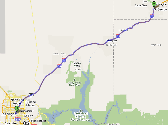
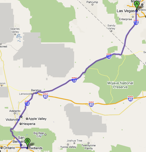
I stayed at the WorldMark on Las Vegas Blvd., Las Vegas, NV for two nights (6/2-3/10), and spent the nights of 6/4-5/10 in Redlands, CA (I-15 S 231 mi., 3 hours 49 mins).
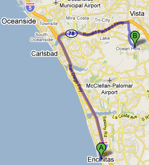
On 6/6/10, I drove to Encinitas to help a client (95.9 mi – about 1 hour 50 mins).
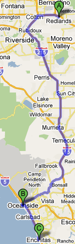
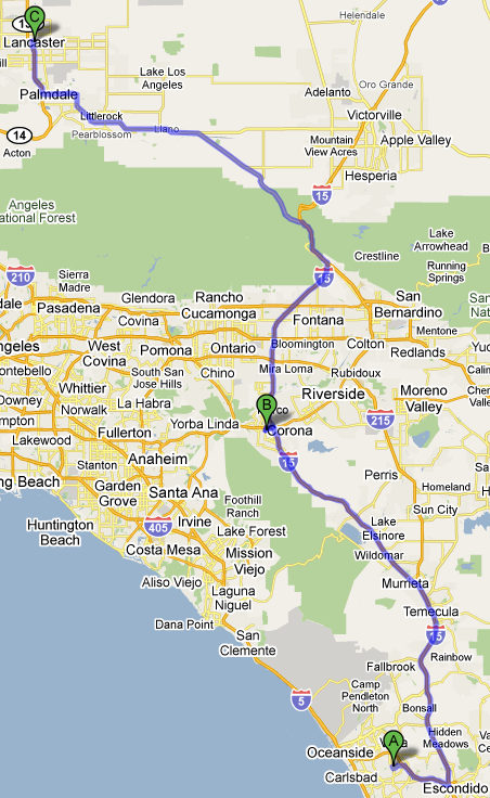
I visited Tony and Susanna Chi in Vista, CA (I-5 N and CA-78 E, 19.1 mi,).
After dinner, I finally returned to Lancaster, CA (167 mi – about 3 hours 4 mins).
I arrived in Lancaster at midnight on 6/6/10 over 4,000 miles since leaving Lancaster on 6/17/10.